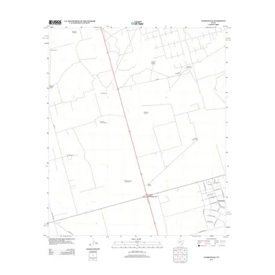
2012 Map of Gardendale
USGS Topo · Published 2012About this map
The settlement of Gardendale and the nearby crossroads of Scharbauer City anchor this landscape in West Texas, where the transition from residential plots to sprawling ranchland is clearly visible. The area is defined by its extensive network of named water infrastructure, necessary for sustaining livestock and life in this arid climate. Features such as the Circle Bar Ranch and several specifically named wells, including the Mutt Windmill, Ward Windmill, and Steel Tower Windmill, illustrate the logistical realities of the cattle industry. In the residential section of Gardendale, a grid of streets named after local flora—such as N Bluestem Ave, E Buttercup Dr, and E Larkspur Ln—reveals the planned nature of this community. This 2012 survey provides a precise record of these localized landmarks, from Caliche Windmill to the numbered pumping stations that dot the open plains.
Find a feature on this map
36 named features on this map. Tap any name to fly to it.
Don’t see what you’re looking for? This feature index may not catch every label — zoom into the map to look around manually.
Map Details
Editions of this 2012 Gardendale Map
This is the sole edition of this map. No revisions or reprints were ever made.
Other maps of this area

1954 · Hobbs
USGS Topo · 1:250,000

1954 · Pecos
USGS Topo · 1:250,000

1957 · Pecos
USGS Topo · 1:250,000

1958 · Hobbs
USGS Topo · 1:250,000

1964 · Odessa NE
USGS Topo · 1:24,000

1964 · Odessa NW
USGS Topo · 1:24,000

1965 · Goldsmith
USGS Topo · 1:24,000

1967 · North Cowden
USGS Topo · 1:24,000

1968 · Baird Lake
USGS Topo · 1:24,000

1968 · Gardendale NW
USGS Topo · 1:24,000