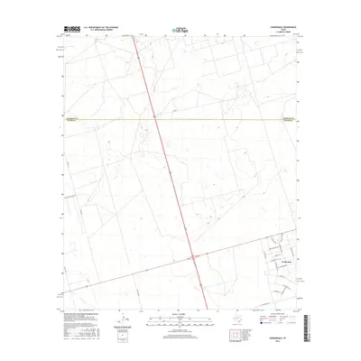
2016 Map of Gardendale
USGS Topo · Published 2016About this map
Gardendale sits at the intersection of modern transit and rural Texas scrubland, with its residential streets named after flora such as E Poppy Dr and E Buttercup Dr. The community's grid represents a pocket of development amidst a landscape defined by the Andrews Co Ector Co line and long, straight thoroughfares. Major arteries like 385 and 158 cut across the terrain, facilitating movement through this corner of the Permian Basin.
Find a feature on this map
24 named features on this map. Tap any name to fly to it.
Don’t see what you’re looking for? This feature index may not catch every label — zoom into the map to look around manually.
Map Details
Editions of this 2016 Gardendale Map
This is the sole edition of this map. No revisions or reprints were ever made.
Other maps of this area

1954 · Hobbs
USGS Topo · 1:250,000

1954 · Pecos
USGS Topo · 1:250,000

1957 · Pecos
USGS Topo · 1:250,000

1958 · Hobbs
USGS Topo · 1:250,000

1964 · Odessa NE
USGS Topo · 1:24,000

1964 · Odessa NW
USGS Topo · 1:24,000

1965 · Goldsmith
USGS Topo · 1:24,000

1967 · North Cowden
USGS Topo · 1:24,000

1968 · Baird Lake
USGS Topo · 1:24,000

1968 · Gardendale NW
USGS Topo · 1:24,000