Loading...
Loading map...2024 Map of Gardner
USGS Topo · Published 2024About this map
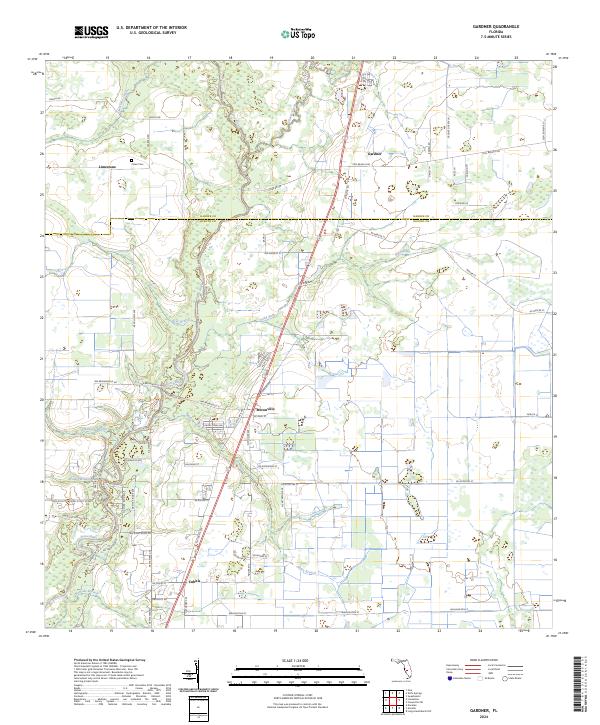
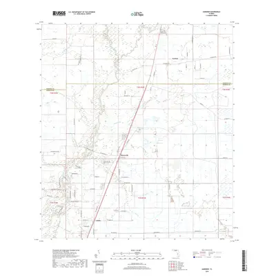
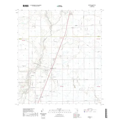
The Peace River and its complex network of tributaries define the landscape of the Hardee Co and DeSoto Co border region. This survey captures a rural stretch of Florida where small settlements like Gardner and Brownville are linked by a grid of named local roads such as Fish Branch Rd and Ranch Rd. The terrain is characterized by a high density of watercourses, including the north-flowing Limestone Creek and the eastern Charlie Creek, which drain into the river system.
Find a feature on this map
70 named features on this map. Tap any name to fly to it.
Don’t see what you’re looking for? This feature index may not catch every label — zoom into the map to look around manually.
Map Details
Date Portrayed2024
Date Published2024
PublisherU.S. Geological Survey
Map TypeTopographic
Scale1:24,000
Physical Dimensions24 x 29 inches
Editions of this 2024 Gardner Map
This is the sole edition of this map. No revisions or reprints were ever made.
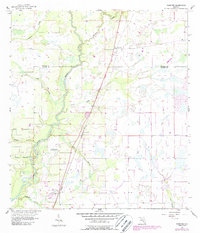
Historical Maps of Cubitis Through Time
6 maps found
Featured Locations
Source Details
SourceU.S. Geological Survey
CopyrightPublic Domain