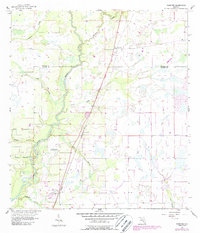
1956 Map of Gardner
USGS Topo · Published 1987About this map
The Peace River meanders through the central corridor of this Florida landscape, creating a complex network of wetlands and tributaries along the border of Hardee and De Soto counties. The settlement of Gardner serves as a primary reference point in the north, while the community of Brownville and the Trailer Park are situated further south along the transportation spine. The map documents a transition in infrastructure, most notably the Old Railroad Grade which is marked as Abandoned, cutting a straight line through the terrain north to south.
Find a feature on this map
20 named features on this map. Tap any name to fly to it.
Don’t see what you’re looking for? This feature index may not catch every label — zoom into the map to look around manually.
Map Details
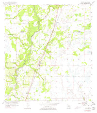
Editions of this 1956 Gardner Map
3 editions found
Other maps of this area

1956 · Gardner
USGS Topo · 1:24,000

1956 · Ona
USGS Topo · 1:24,000

1956 · Sweetwater
USGS Topo · 1:24,000

1956 · Limestone
USGS Topo · 1:24,000

1956 · Zolfo Springs
USGS Topo · 1:24,000

1956 · Nocatee
USGS Topo · 1:24,000

1956 · Crewsville SW
USGS Topo · 1:24,000

1956 · Fort Pierce
USGS Topo · 1:250,000

1957 · Long Island Marsh NW
USGS Topo · 1:24,000

1957 · Arcadia
USGS Topo · 1:24,000