
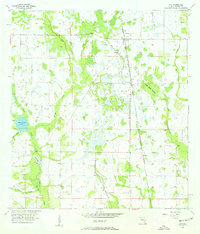
1956 Map of Ona
USGS Topo · Published 1957About this map
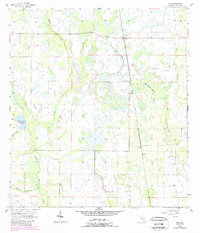
Ona and the neighboring siding of Bridges anchor this mid-century look at the Hardee County interior, where the Seaboard Air Line railroad cuts a north-south path through the low-lying Florida landscape. The terrain is defined by a dense network of slow-moving waterways, including the winding Horse Creek and its many tributaries like Elder Br and Cypress Branch. A significant portion of the sheet is dominated by the Horse Creek Prairie, a broad marshy expanse that illustrates the seasonal hydrology of the region before modern drainage patterns were fully established. Further east, the Oak Creek Islands stand out as slightly elevated hammocks within the wetlands near Oak Creek. This 1956 planetable survey captures a transition point in Florida land use, showing early roads and unimproved dirt tracks beginning to thread between the traditional rail stops and scattered prairie drainage basins like Duck Pond.
Find a feature on this map
14 named features on this map. Tap any name to fly to it.
Don’t see what you’re looking for? This feature index may not catch every label — zoom into the map to look around manually.
Map Details
Editions of this 1956 Ona Map
3 editions found
Other maps of this area

1955 · Ft. Green
USGS Topo · 1:24,000

1955 · Wauchula
USGS Topo · 1:24,000

1956 · Gardner
USGS Topo · 1:24,000

1956 · Edgeville
USGS Topo · 1:24,000

1956 · Myakka Head
USGS Topo · 1:24,000

1956 · Limestone
USGS Topo · 1:24,000

1956 · Zolfo Springs
USGS Topo · 1:24,000

1956 · Duette
USGS Topo · 1:24,000

1956 · Tampa
USGS Topo · 1:250,000

1956 · Fort Pierce
USGS Topo · 1:250,000