
1956 Map of Zolfo Springs
USGS Topo · Published 1957About this map
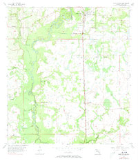
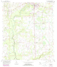
The Peace River meanders through the heart of this mid-century Hardee County landscape, serving as the central drainage for a network of tributaries including Troublesome Creek, Hickory Creek, and Charlie Creek. In the north, the town of Zolfo Springs serves as a local hub, situated along the Atlantic Coast Line railroad which runs vertically through the quadrangle. This transportation corridor connects the primary settlements, passing through Moffitt and Buchanan as it heads south. The map reveals a rural economy of the 1950s defined by scattered citrus groves, ranching at Peace River Ranch, and numerous artesian sources marked as Flowing Wells. Local community life is anchored by landmarks such as Oak Grove Church and Friendship Church, situated amongst the wetlands and sandy ridges that characterize this section of the Florida interior.
Find a feature on this map
18 named features on this map. Tap any name to fly to it.
Don’t see what you’re looking for? This feature index may not catch every label — zoom into the map to look around manually.
Map Details
Editions of this 1956 Zolfo Springs Map
3 editions found
Other maps of this area

1955 · Ft. Green
USGS Topo · 1:24,000

1955 · Wauchula
USGS Topo · 1:24,000

1956 · Gardner
USGS Topo · 1:24,000

1956 · Ona
USGS Topo · 1:24,000

1956 · Sweetwater
USGS Topo · 1:24,000

1956 · Limestone
USGS Topo · 1:24,000

1956 · Crewsville SW
USGS Topo · 1:24,000

1956 · Griffins Corner
USGS Topo · 1:24,000

1956 · Fort Pierce
USGS Topo · 1:250,000

1958 · Fort Pierce
USGS Topo · 1:250,000