
1956 Map of Gardner
USGS Topo · Published 1957About this map
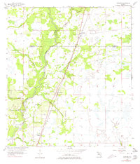
The Peace River carves a winding path through the center of this 1950s landscape, serving as the primary drainage for numerous tributaries like Limestone Creek and Charlie Creek. In this era, the agricultural and rural character of the region is anchored by small settlements positioned along the Atlantic Coast Line railroad. These rail-oriented communities, including Gardner, Brownville, and Cubitis, illustrate the mid-century dependence on rail transport for moving citrus and cattle from the Florida interior.
Find a feature on this map
17 named features on this map. Tap any name to fly to it.
Don’t see what you’re looking for? This feature index may not catch every label — zoom into the map to look around manually.
Map Details
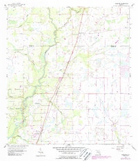
Editions of this 1956 Gardner Map
3 editions found
Other maps of this area

1956 · Ona
USGS Topo · 1:24,000

1956 · Sweetwater
USGS Topo · 1:24,000

1956 · Limestone
USGS Topo · 1:24,000

1956 · Zolfo Springs
USGS Topo · 1:24,000

1956 · Nocatee
USGS Topo · 1:24,000

1956 · Crewsville SW
USGS Topo · 1:24,000

1956 · Fort Pierce
USGS Topo · 1:250,000

1957 · Long Island Marsh NW
USGS Topo · 1:24,000

1957 · Arcadia
USGS Topo · 1:24,000

1958 · Fort Pierce
USGS Topo · 1:250,000