
1957 Map of Arcadia
USGS Topo · Published 1958About this map
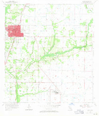
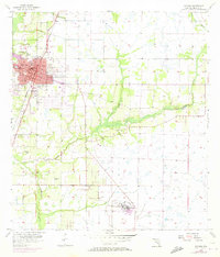
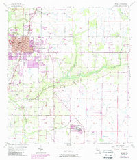
The city of Arcadia serves as the central hub of this mid-century Florida landscape, defined by its grid of streets and the prominent Courthouse square. The rail network of the era is clearly defined by the Atlantic Coast Line and Seaboard Air Line passing through the town, intersecting near industrial infrastructure like the Radio Tower. To the south, the sprawling State Hospital complex and its dedicated Sewage Disposal facility stand as major landmarks of local administration and public service.
Find a feature on this map
18 named features on this map. Tap any name to fly to it.
Don’t see what you’re looking for? This feature index may not catch every label — zoom into the map to look around manually.
Map Details
Editions of this 1957 Arcadia Map
4 editions found
Other maps of this area

1956 · Gardner
USGS Topo · 1:24,000

1956 · Arcadia SE
USGS Topo · 1:24,000

1956 · Limestone
USGS Topo · 1:24,000

1956 · Ft. Ogden
USGS Topo · 1:24,000

1956 · Nocatee
USGS Topo · 1:24,000

1956 · Crewsville SW
USGS Topo · 1:24,000

1956 · Long Island Marsh SW
USGS Topo · 1:24,000

1956 · Fort Pierce
USGS Topo · 1:250,000

1957 · Long Island Marsh NW
USGS Topo · 1:24,000

1958 · Fort Pierce
USGS Topo · 1:250,000