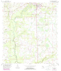
1956 Map of Zolfo Springs
USGS Topo · Published 1987About this map
Zolfo Springs serves as the primary hub of this Hardee County landscape, situated where the Seaboard Coast Line Railroad crosses the Peace River. The map reveals a rural community supported by its proximity to the water and rail, with smaller settlements like Moffitt and Buchanan dotting the path of the tracks. The western edge is defined by the winding course of the river, where tributaries like Hickory Creek and Troublesome Creek feed into the main channel near Oak Grove.
Find a feature on this map
21 named features on this map. Tap any name to fly to it.
Don’t see what you’re looking for? This feature index may not catch every label — zoom into the map to look around manually.
Map Details
Editions of this 1956 Zolfo Springs Map
3 editions found
Other maps of this area

1955 · Ft. Green
USGS Topo · 1:24,000

1955 · Wauchula
USGS Topo · 1:24,000

1956 · Gardner
USGS Topo · 1:24,000

1956 · Ona
USGS Topo · 1:24,000

1956 · Sweetwater
USGS Topo · 1:24,000

1956 · Limestone
USGS Topo · 1:24,000

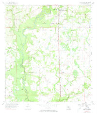
1956 · Zolfo Springs
USGS Topo · 1:24,000

1956 · Crewsville SW
USGS Topo · 1:24,000

1956 · Griffins Corner
USGS Topo · 1:24,000

1956 · Fort Pierce
USGS Topo · 1:250,000