
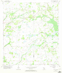
1956 Map of Myakka Head
USGS Topo · Published 1957About this map
The Myakka Head settlement sits at the heart of this mid-1950s survey of the inland Gulf Coast region, marking a landscape defined by an intricate network of wetlands and seasonal drainages. In the northeast corner, the New Zion Ch serves as a local landmark near the West Fork Horse Creek, while the Myakka Head Park provides a dedicated public space along the upper reaches of the Myakka River.
Find a feature on this map
14 named features on this map. Tap any name to fly to it.
Don’t see what you’re looking for? This feature index may not catch every label — zoom into the map to look around manually.
Map Details
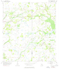
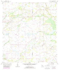
Editions of this 1956 Myakka Head Map
4 editions found
Other maps of this area

1955 · Ft. Green
USGS Topo · 1:24,000

1956 · Ona
USGS Topo · 1:24,000

1956 · Myakka City
USGS Topo · 1:24,000

1956 · Edgeville
USGS Topo · 1:24,000

1956 · Myakka City NW
USGS Topo · 1:24,000

1956 · Limestone
USGS Topo · 1:24,000

1956 · Duette
USGS Topo · 1:24,000

1956 · Keentown
USGS Topo · 1:24,000

1956 · Tampa
USGS Topo · 1:250,000

1956 · Fort Pierce
USGS Topo · 1:250,000