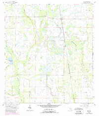
1956 Map of Ona
USGS Topo · Published 1987About this map
The settlement of Ona serves as the focal point for this mid-century survey of the Florida interior, where the CSX rail line cuts a straight path through a landscape defined by seasonal wetlands and intricate drainage systems. The map illustrates a transitional environment characterized by numerous watercourses, including Horse Creek, Brushy Creek, and Hickory Creek, which wind through the low-lying terrain. Noteworthy natural landmarks such as Oak Creek Islands and Horse Creek Prairie reflect the distinctive topography of Hardee County, where large swaths of prairie and marshland dictated the placement of roads and homesteads.
Find a feature on this map
16 named features on this map. Tap any name to fly to it.
Don’t see what you’re looking for? This feature index may not catch every label — zoom into the map to look around manually.
Map Details
Editions of this 1956 Ona Map
3 editions found
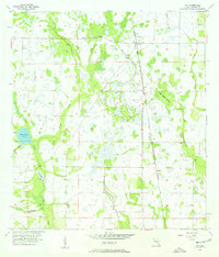
Other maps of this area

1955 · Ft. Green
USGS Topo · 1:24,000

1955 · Wauchula
USGS Topo · 1:24,000

1956 · Gardner
USGS Topo · 1:24,000

1956 · Ona
USGS Topo · 1:24,000

1956 · Edgeville
USGS Topo · 1:24,000

1956 · Myakka Head
USGS Topo · 1:24,000

1956 · Limestone
USGS Topo · 1:24,000

1956 · Zolfo Springs
USGS Topo · 1:24,000

1956 · Duette
USGS Topo · 1:24,000

1956 · Tampa
USGS Topo · 1:250,000