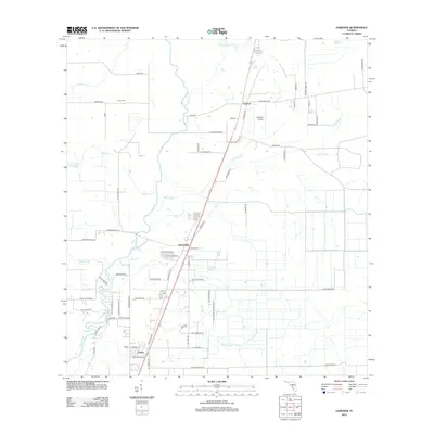
2012 Map of Gardner
USGS Topo · Published 2012About this map
Gardner and Brownville anchor this survey of the Florida interior, where the meandering course of the Peace River forms the primary geographic spine. The landscape is defined by its drainage network, with Charlie Cr, Limestone Cr, and the appropriately named Sand Gully carving through the terrain. A mix of rural agriculture and local infrastructure is evident, with the small settlement of Cubitis situated near the southern boundary and the Gardner Airport serving as a local aviation hub.
Find a feature on this map
70 named features on this map. Tap any name to fly to it.
Don’t see what you’re looking for? This feature index may not catch every label — zoom into the map to look around manually.
Map Details
Editions of this 2012 Gardner Map
This is the sole edition of this map. No revisions or reprints were ever made.
Other maps of this area

1956 · Gardner
USGS Topo · 1:24,000

1956 · Ona
USGS Topo · 1:24,000

1956 · Sweetwater
USGS Topo · 1:24,000

1956 · Limestone
USGS Topo · 1:24,000

1956 · Zolfo Springs
USGS Topo · 1:24,000

1956 · Nocatee
USGS Topo · 1:24,000

1956 · Crewsville SW
USGS Topo · 1:24,000

1956 · Fort Pierce
USGS Topo · 1:250,000

1957 · Long Island Marsh NW
USGS Topo · 1:24,000

1957 · Arcadia
USGS Topo · 1:24,000