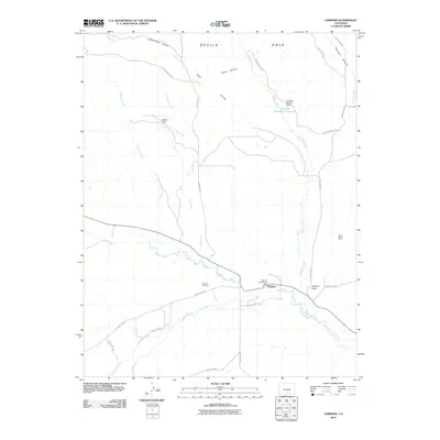
2010 Map of Gardner
USGS Topo · Published 2010About this map
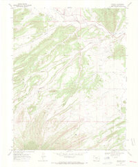
The Huerfano River and Muddy Creek converge in this high-plains landscape near the settlement of Gardner. This area of Huerfano County is defined by a network of drainage systems including Sand Arroyo, Milligan Arroyo, and Williams Creek, which feeds into the Freeland Reservoir Number 4 behind the Freeland Number 4 Dam. To the north, the terrain rises toward Devils Hole and several carved drainages such as Vance Canyon and Cottonwood Canyon.
Find a feature on this map
33 named features on this map. Tap any name to fly to it.
Don’t see what you’re looking for? This feature index may not catch every label — zoom into the map to look around manually.
Map Details
Editions of this 2010 Gardner Map
This is the sole edition of this map. No revisions or reprints were ever made.
Other maps of this area

1889 · Huerfano Park
USGS Topo · 1:125,000

1892 · Huerfano Park
USGS Topo · 1:125,000

1954 · Trinidad
USGS Topo · 1:250,000

1955 · Trinidad
USGS Topo · 1:250,000

1958 · Trinidad
USGS Topo · 1:250,000

1959 · Trinidad
USGS Topo · 1:250,000
1960 · Devils Gulch
USGS Topo · 1:24,000
1967 · Creager Reservoir
USGS Topo · 1:24,000
1967 · Red Wing
USGS Topo · 1:24,000
1969 · Farisita
USGS Topo · 1:24,000