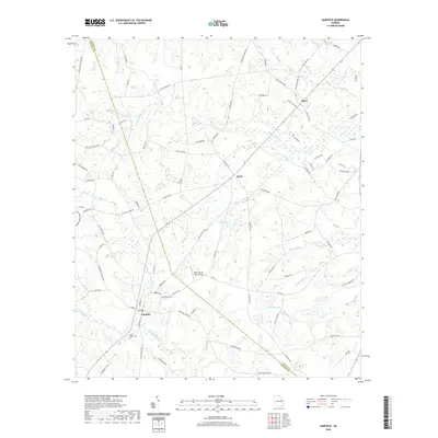
2024 Map of Garfield
USGS Topo · Published 2024About this map
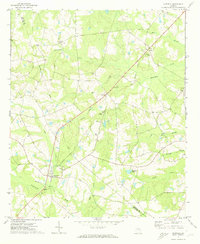
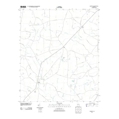
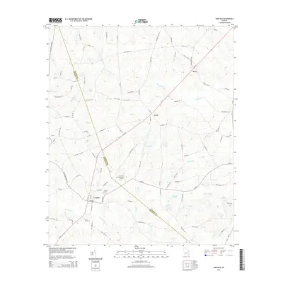
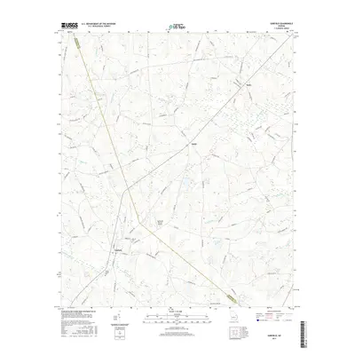
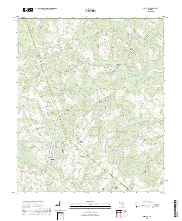
The town of Garfield serves as the primary hub in this corner of Emanuel County, where the landscape is defined by the winding paths of Fifteenmile Creek and Sculls Creek. This modern survey illustrates a rural Georgia environment where small, named settlements like Thrift and Butts anchor a network of local roads such as Canoochee Garfield Rd and Old Garfield Rd. The area's heritage is preserved in sites like Hebron Cem and Union Chapel Cem, which offer significant value for genealogists tracing local families.
Find a feature on this map
85 named features on this map. Tap any name to fly to it.
Don’t see what you’re looking for? This feature index may not catch every label — zoom into the map to look around manually.
Map Details
Editions of this 2024 Garfield Map
This is the sole edition of this map. No revisions or reprints were ever made.
Historical Maps of Garfield Through Time
6 maps found