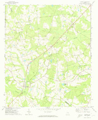
1971 Map of Garfield
USGS Topo · Published 1973About this map
The town of Garfield serves as the primary hub on this early 1970s survey, marking a landscape where the Old Railroad Grade still traces a legacy of former transport through the timber and agricultural lands of the Jenkins and Emanuel county line. The map reveals a high concentration of rural religious centers, including Mt Carmel Ch, Johnson Chapel, and Union Chapel, which reflect the distributed nature of the local community.
Find a feature on this map
22 named features on this map. Tap any name to fly to it.
Don’t see what you’re looking for? This feature index may not catch every label — zoom into the map to look around manually.
Map Details
Editions of this 1971 Garfield Map
This is the sole edition of this map. No revisions or reprints were ever made.
Other maps of this area

1920 · Millen
USGS Topo · 1:62,500

1921 · Rocky Ford
USGS Topo · 1:62,500

1943 · Rocky Ford
USGS Topo · 1:62,500

1943 · Millen
USGS Topo · 1:62,500

1943 · Millen
USGS Topo · 1:125,000

1947 · Savannah
USGS Topo · 1:250,000

1948 · Savannah
USGS Topo · 1:250,000

1957 · Macon
USGS Topo · 1:250,000

1957 · Savannah
USGS Topo · 1:250,000

1958 · Macon
USGS Topo · 1:250,000