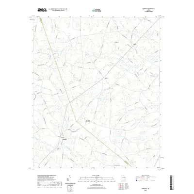
2020 Map of Garfield
USGS Topo · Published 2020About this map
Garfield anchors this landscape in eastern Georgia, situated at the confluence of several rural routes including Monroe St and Old Garfield Rd. The area is defined by its intricate network of slow-moving waterways, where Fifteenmile Cr and Sculls Cr wind through low-lying terrain. Genealogy researchers will find several notable local landmarks, such as Union Chapel Cem and Hebron Cem, which serve as quiet touchstones for the community's history.
Find a feature on this map
86 named features on this map. Tap any name to fly to it.
Don’t see what you’re looking for? This feature index may not catch every label — zoom into the map to look around manually.
Map Details
Editions of this 2020 Garfield Map
This is the sole edition of this map. No revisions or reprints were ever made.
Other maps of this area

1920 · Millen
USGS Topo · 1:62,500

1921 · Rocky Ford
USGS Topo · 1:62,500

1943 · Rocky Ford
USGS Topo · 1:62,500

1943 · Millen
USGS Topo · 1:62,500

1943 · Millen
USGS Topo · 1:125,000

1947 · Savannah
USGS Topo · 1:250,000

1948 · Savannah
USGS Topo · 1:250,000

1957 · Macon
USGS Topo · 1:250,000

1957 · Savannah
USGS Topo · 1:250,000

1958 · Macon
USGS Topo · 1:250,000