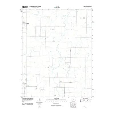
2009 Map of Garland
USGS Topo · Published 2009About this map
Dry Wood Creek and its many branches, including West Fork Dry Wood Creek and McKill Creek, carve a complex drainage pattern across this landscape on the Kansas-Missouri border. The settlement of Arcadia anchors the southwest corner, showing a structured grid of streets like S Ohio St and E Arcadia St. Small, distributed rural communities such as Garland, Oskaloosa, and Le Roy are connected by a network of section-line roads, illustrating the persistent agrarian character of the region.
Find a feature on this map
30 named features on this map. Tap any name to fly to it.
Don’t see what you’re looking for? This feature index may not catch every label — zoom into the map to look around manually.
Map Details
Editions of this 2009 Garland Map
This is the sole edition of this map. No revisions or reprints were ever made.
Other maps of this area

1884 · Fort Scott
USGS Topo · 1:125,000

1886 · Nevada
USGS Topo · 1:125,000

1886 · Fort Scott
USGS Topo · 1:125,000

1893 · Fort Scott
USGS Topo · 1:125,000

1894 · Nevada
USGS Topo · 1:125,000

1939 · Deerfield
USGS Topo · 1:24,000

1939 · Moundville
USGS Topo · 1:24,000

1942 · Deerfield
USGS Topo · 1:24,000
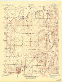
1942 · Moundville
USGS Topo · 1:24,000

1947 · Joplin
USGS Topo · 1:250,000