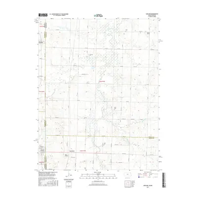
2015 Map of Garland
USGS Topo · Published 2015About this map
Garland sits at the intersection of the Kansas-Missouri state line, marking a rural landscape where the plains of Bourbon and Crawford Counties meet the western edge of Missouri. The settlement of Arcadia anchors the southwestern portion of the sheet, while the smaller community of Oskaloosa lies just to the east. This 2015 survey reveals a terrain defined by a dense concentration of family and community burial sites, including Heavisides Cem, McKill Chapel Cem, and Shiloh Cem, which serve as vital markers for local genealogical research.
Find a feature on this map
62 named features on this map. Tap any name to fly to it.
Don’t see what you’re looking for? This feature index may not catch every label — zoom into the map to look around manually.
Map Details
Editions of this 2015 Garland Map
This is the sole edition of this map. No revisions or reprints were ever made.
Other maps of this area
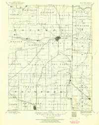
1884 · Fort Scott
USGS Topo · 1:125,000
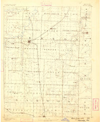
1886 · Nevada
USGS Topo · 1:125,000
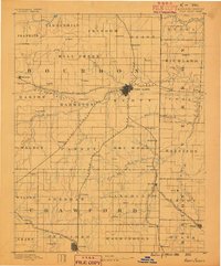
1886 · Fort Scott
USGS Topo · 1:125,000
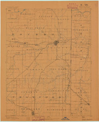
1893 · Fort Scott
USGS Topo · 1:125,000
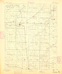
1894 · Nevada
USGS Topo · 1:125,000
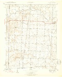
1939 · Deerfield
USGS Topo · 1:24,000
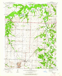
1939 · Moundville
USGS Topo · 1:24,000
1942 · Deerfield
USGS Topo · 1:24,000
1942 · Moundville
USGS Topo · 1:24,000

1947 · Joplin
USGS Topo · 1:250,000