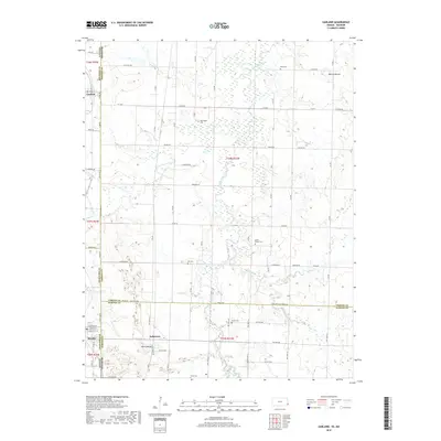
2018 Map of Garland
USGS Topo · Published 2018About this map
The borderlands between Kansas and Missouri are defined here by a network of rural townships and family-named landmarks. The settlements of Garland, Arcadia, and Oskaloosa anchor the landscape, which is marked by high points such as Martin Mound in the northeast and Blue Mound near the southern border. This terrain is drained by the meandering Dry Wood Creek and its various tributaries, including McKill Cr and Bucks Run. For those researching local family history, the map provides precise locations for numerous burial grounds across several counties, including Shiloh Cem, Heavisides Cem, and Gill Cem. The layout of section lines and rural roads like Yater Rd and Zebulon Rd illustrates the enduring grid of the American Midwest, where state and county boundaries often run directly through farmsteads and creek beds.
Find a feature on this map
58 named features on this map. Tap any name to fly to it.
Don’t see what you’re looking for? This feature index may not catch every label — zoom into the map to look around manually.
Map Details
Editions of this 2018 Garland Map
This is the sole edition of this map. No revisions or reprints were ever made.
Other maps of this area
1884 · Fort Scott
USGS Topo · 1:125,000
1886 · Nevada
USGS Topo · 1:125,000
1886 · Fort Scott
USGS Topo · 1:125,000
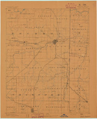
1893 · Fort Scott
USGS Topo · 1:125,000
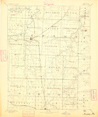
1894 · Nevada
USGS Topo · 1:125,000
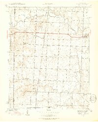
1939 · Deerfield
USGS Topo · 1:24,000
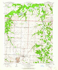
1939 · Moundville
USGS Topo · 1:24,000
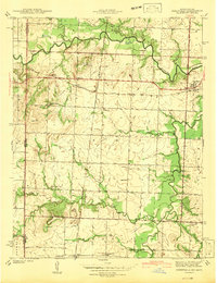
1942 · Deerfield
USGS Topo · 1:24,000
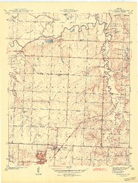
1942 · Moundville
USGS Topo · 1:24,000

1947 · Joplin
USGS Topo · 1:250,000