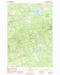
1983 Map of Garland
USGS Topo · Published 1984About this map
Garland and its surrounding rural townships are defined by a network of crossroad settlements and significant water bodies along the Penobscot and Piscataquis county line. In the early 1980s, this landscape maintained a strong connection to its industrial past with sites like Dover South Mills and Silvers Mills, while the Main Central RR provided a vital corridor through the western portion of the quadrangle. The topography is dotted with family-named landmarks such as Macomber Corner, Haseltine Corner, and Knight Corner, which reveal the historical patterns of local habitation and land ownership. Extensive natural features dominate the eastern and northern reaches, including the Penobscot-Piscataquis Wildlife Management Area and the marshy expanses of Grey Bog. Water remains central to the region's character, with the Sebasticook River and Kenduskeag Stream draining a terrain varied by heights like Norton Hill and Preble Hill.
Find a feature on this map
56 named features on this map. Tap any name to fly to it.
Don’t see what you’re looking for? This feature index may not catch every label — zoom into the map to look around manually.
Map Details
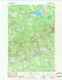
Editions of this 1983 Garland Map
2 editions found
Other maps of this area

1930 · Pittsfield
USGS Topo · 1:48,000

1931 · Stetson
USGS Topo · 1:48,000

1932 · Dover-Foxcroft
USGS Topo · 1:48,000

1932 · Pittsfield
USGS Topo · 1:62,500

1933 · Pittsfield
USGS Topo · 1:62,500

1933 · Guilford
USGS Topo · 1:62,500

1935 · Dover-Foxcroft
USGS Topo · 1:62,500

1935 · Stetson
USGS Topo · 1:62,500

1937 · Guilford
USGS Topo · 1:62,500

1948 · Bangor
USGS Topo · 1:250,000