Loading...
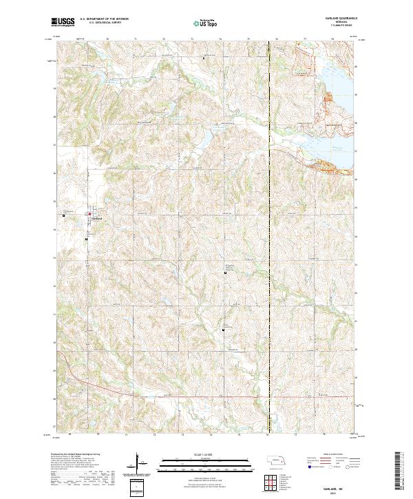
Loading map...2021 Map of Garland
USGS Topo · Published 2021About this map
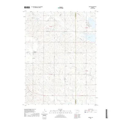
Garland sits at the heart of this agricultural landscape in eastern Nebraska, defined by a meticulously surveyed grid of township and range lines. The terrain is characterized by a dense network of watercourses and man-made reservoirs, including Oak-Middle Reservoir 81-A and the extensive Branched Oak Lake. These water management features reflect the region's adaptation to the rolling prairie, where creeks like Middle Oak Cr and Coon Cr wind through the sections.
Find a feature on this map
52 named features on this map. Tap any name to fly to it.
Don’t see what you’re looking for? This feature index may not catch every label — zoom into the map to look around manually.
Map Details
Date Portrayed2021
Date Published2021
PublisherU.S. Geological Survey
Map TypeTopographic
Scale1:24,000
Physical Dimensions24 x 29 inches
Editions of this 2021 Garland Map
This is the sole edition of this map. No revisions or reprints were ever made.
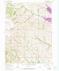
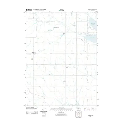
Historical Maps of Garland Through Time
5 maps found
Featured Locations
Source Details
SourceU.S. Geological Survey
CopyrightPublic Domain