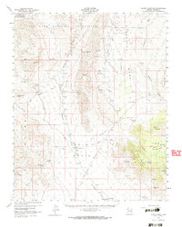
1960 Map of Garnet Mtn.
USGS Topo · Published 1966About this map
The Gold Basin and White Hills of Mohave County define this high-desert landscape as it appeared in the mid-20th century. This area is characterized by a dense concentration of mining operations and remote ranching outposts. Hardrock and placer mining history is visible through features like the King Tut Placer Mine, Golden Gate Mine, and the Cyclopic (Site), while the agricultural footprint of the era is preserved at Burnt Mill Ranch and Valley Ranch. In the north, the waters of Lake Mead reach into Salt Spring Bay, contrasting with the arid terrain of Grapevine Mesa and the Grand Wash Cliffs. Essential water sources for the region's inhabitants and livestock are meticulously recorded, including Patterson Well, Iron Spring, and Rattlesnake Spring. Transportation across this challenging environment relied on the Pierce Ferry Road and numerous jeep trails connecting the scattered mines and ranch sites.
Find a feature on this map
43 named features on this map. Tap any name to fly to it.
Don’t see what you’re looking for? This feature index may not catch every label — zoom into the map to look around manually.
Map Details
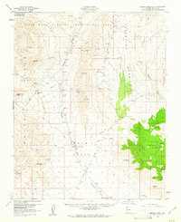
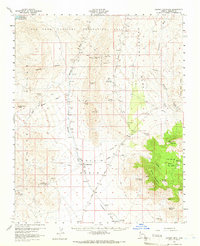
Editions of this 1960 Garnet Mtn. Map
3 editions found
Other maps of this area

1886 · Diamond Creek
USGS Topo · 1:250,000

1886 · Camp Mohave
USGS Topo · 1:250,000

1886 · Saint Thomas
USGS Topo · 1:250,000

1886 · Mt. Trumbull
USGS Topo · 1:250,000

1892 · Diamond Creek
USGS Topo · 1:250,000

1892 · Mt. Trumbull
USGS Topo · 1:250,000

1892 · Camp Mohave
USGS Topo · 1:250,000

1893 · Saint Thomas
USGS Topo · 1:250,000

1926 · Bonelli
USGS Topo · 1:96,000

1942 · Camp Mohave
USGS Topo · 1:250,000