Loading...
Loading map...2022 Map of Garrett
USGS Topo · Published 2022About this map
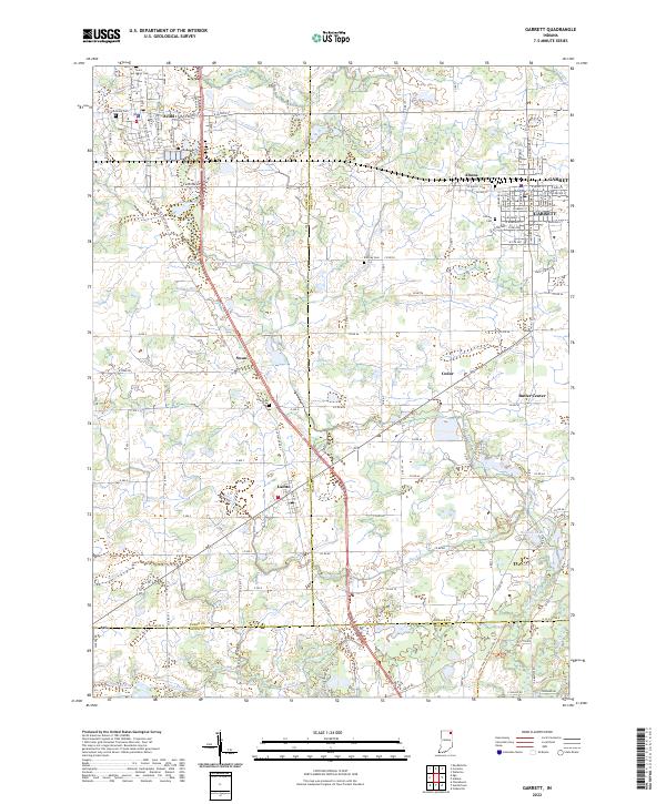
The railroad town of Garrett and its neighbor Altona anchor the northeastern landscape of this modern survey, where the dense street grids of W Quincy St and E Keyser St give way to the sprawling agricultural tracts of DeKalb and Noble counties. The terrain is defined by a sophisticated network of drainage infrastructure, including Hinkley Ditch, Yarde Ditch, and Diehl Ditch, which manage the low-lying lands around King Lake.
Find a feature on this map
79 named features on this map. Tap any name to fly to it.
Don’t see what you’re looking for? This feature index may not catch every label — zoom into the map to look around manually.
Map Details
Date Portrayed2022
Date Published2022
PublisherU.S. Geological Survey
Map TypeTopographic
Scale1:24000
Physical Dimensions24 x 29 inches
Editions of this 2022 Garrett Map
This is the sole edition of this map. No revisions or reprints were ever made.
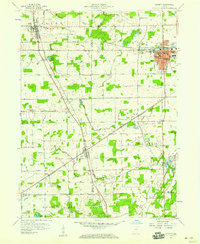
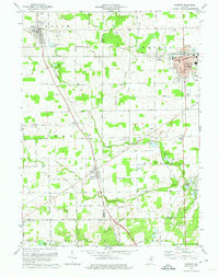
Historical Maps of Ari Through Time
Featured Locations
Source Details
SourceU.S. Geological Survey
CopyrightPublic Domain