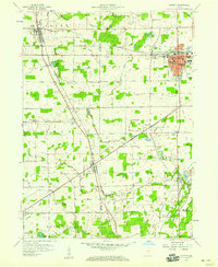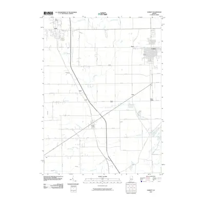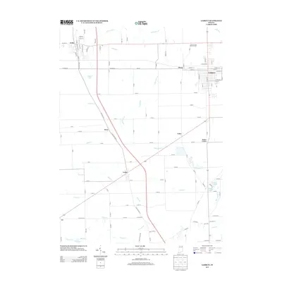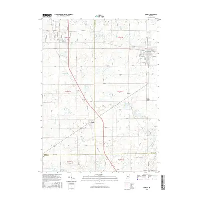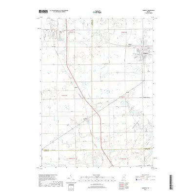
1973 Map of Garrett
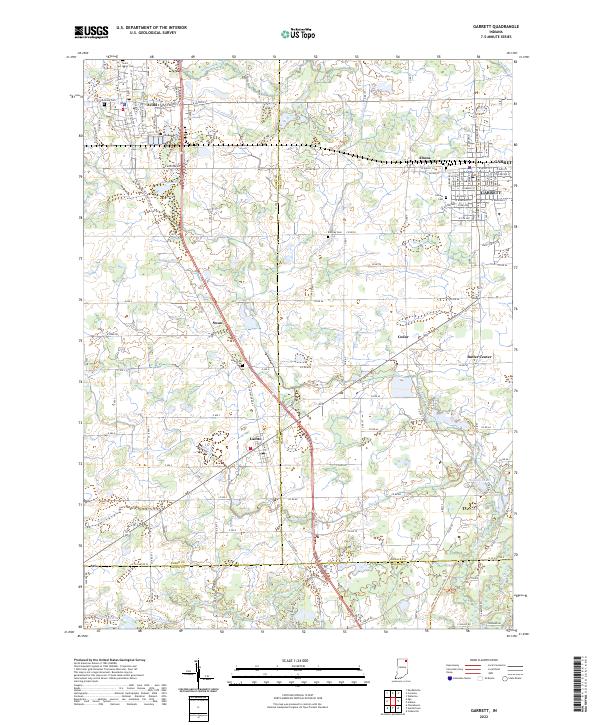
USGS Topo · Published 1974About this map
The rail-oriented town of Garrett serves as the primary hub of this early 1970s survey, where the Penn Central tracks intersect with the local street grid near Altona. The landscape transitions from the developed industrial and residential core of Garrett, featuring its High Sch and Wee Haven Sch, into the agricultural reaches of Keyser and Butler townships. Smaller rural clusters such as Avilla, Swan, and Laotto are linked by a network of drainage-aligned roads, including Base Line Road, which navigates the headwaters of Cedar Creek and Little Cedar Creek.
Find a feature on this map
48 named features on this map. Tap any name to fly to it.
Don’t see what you’re looking for? This feature index may not catch every label — zoom into the map to look around manually.
Map Details
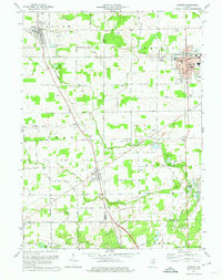
Editions of this 1973 Garrett Map
This is the sole edition of this map. No revisions or reprints were ever made.
Historical Maps of Garrett Through Time
7 maps found