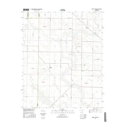
2017 Map of Garrett Grove
USGS Topo · Published 2017About this map
Garrett Grove and Hopper anchor this Lee County landscape, where the agricultural rhythm is defined by a dense network of county roads and meandering waterways. The map reveals a high concentration of burial grounds, providing a significant resource for genealogists researching families at Saint Paul Cem, Long Cane Cem, Garrett Cem, and Taylor Cem. These sites, often situated near family-named landmarks and water bodies like Little Hog Tusk Cr and Flat Fork Cr, suggest a long-established rural community structure. The presence of Whistling Lake and Walnut Lake amidst the wetlands of the southern reaches points to the unique hydrology of this Arkansas delta region. The road network, including St Paul Rd and numerous numbered routes like Lee Road 907, illustrates the connectivity between these small settlements and their surrounding farmstead acreage.
Find a feature on this map
57 named features on this map. Tap any name to fly to it.
Don’t see what you’re looking for? This feature index may not catch every label — zoom into the map to look around manually.
Map Details
Editions of this 2017 Garrett Grove Map
This is the sole edition of this map. No revisions or reprints were ever made.
Other maps of this area
1940 · Marvell
USGS Topo · 1:62,500
1940 · Holly Grove
USGS Topo · 1:62,500
1940 · Brinkley
USGS Topo · 1:62,500
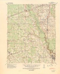
1940 · Marianna
USGS Topo · 1:62,500
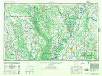
1948 · Helena
USGS Topo · 1:250,000
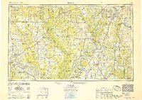
1950 · Helena
USGS Topo · 1:250,000
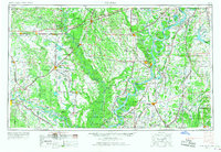
1955 · Helena
USGS Topo · 1:250,000
1956 · Marvell
USGS Topo · 1:62,500
1957 · Marianna
USGS Topo · 1:62,500
1957 · Holly Grove
USGS Topo · 1:62,500