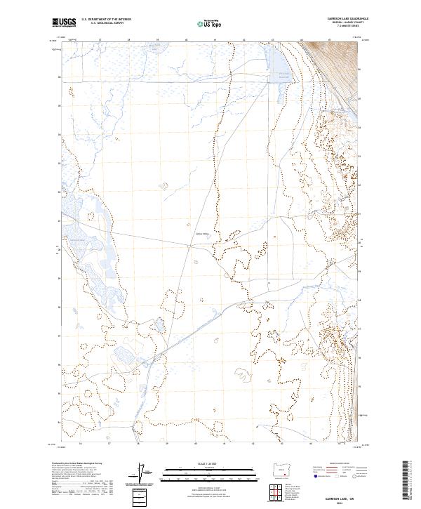
2024 Map of Garrison Lake
USGS Topo · Published 2024About this map
Catlow Valley defines the high-desert geography of this corner of Harney County, where water is the primary architect of the human and natural landscape. This modern digital survey reveals a complex system of managed water resources, including the engineered Stockwater Ditch that cuts across the basin to support livestock in this arid environment. Natural water bodies like Garrison Lake, West Field Lake, and Sixmile Lake appear alongside the Threemile Reservoir, illustrating the essential balance of ephemeral and permanent water sources in the Great Basin. The presence of Skull Creek and the lone artery of Catlow Valley Rd highlights the sparse infrastructure and remote character of the region. For the researcher, the map provides a precise layout of the Public Land Survey System, marking the intersections of Township and Range lines that have governed land use in this part of Oregon for generations.
Find a feature on this map
14 named features on this map. Tap any name to fly to it.
Don’t see what you’re looking for? This feature index may not catch every label — zoom into the map to look around manually.
Map Details
Editions of this 2024 Garrison Lake Map
This is the sole edition of this map. No revisions or reprints were ever made.
Other maps of this area

1955 · Adel
USGS Topo · 1:250,000

1957 · Adel
USGS Topo · 1:250,000

1958 · Adel
USGS Topo · 1:250,000

1962 · Adel
USGS Topo · 1:250,000

1968 · Roaring Springs SE
USGS Topo · 1:24,000

1971 · Square Mountain
USGS Topo · 1:24,000

1971 · Fields Basin
USGS Topo · 1:24,000

1971 · Blitzen
USGS Topo · 1:24,000

1971 · Coyote Gap SE
USGS Topo · 1:24,000

1971 · Garrison Lake
USGS Topo · 1:24,000