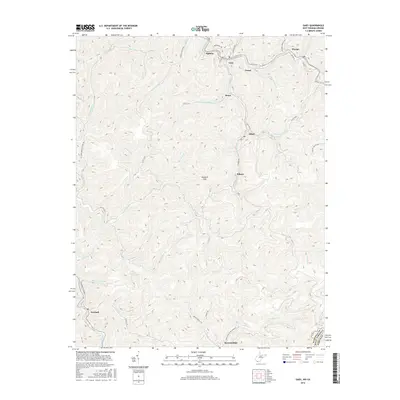
2016 Map of Gary
USGS Topo · Published 2016About this map
Gary serves as the central hub of this rugged coal-country landscape in the mid-2010s, surrounded by a constellation of closely-spaced mining settlements along the winding narrow valleys of the Tug Fork and Sandlick Cr. This pattern of high-density housing tucked into steep drainage basins is characteristic of the region's industrial heritage, where towns like Elbert, Filbert, and Thorpe were established at the mouths of hollows to serve local mine operations.
Find a feature on this map
54 named features on this map. Tap any name to fly to it.
Don’t see what you’re looking for? This feature index may not catch every label — zoom into the map to look around manually.
Map Details
Editions of this 2016 Gary Map
This is the sole edition of this map. No revisions or reprints were ever made.
Other maps of this area

1887 · Pocahontas
USGS Topo · 1:125,000

1891 · Tazewell
USGS Topo · 1:125,000

1891 · Pocahontas
USGS Topo · 1:125,000

1894 · Pocahontas
USGS Topo · 1:125,000

1895 · Tazewell
USGS Topo · 1:125,000

1895 · Pocahontas
USGS Topo · 1:125,000

1897 · Tazewell
USGS Topo · 1:125,000

1909 · Pocahontas Special
USGS Topo · 1:48,000

1911 · Pocahontas Special
USGS Topo · 1:62,500

1912 · Pounding Mill
USGS Topo · 1:62,500