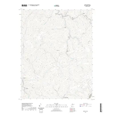
2019 Map of Gary
USGS Topo · Published 2019About this map
Gary and its surrounding coal-country communities occupy the narrow valley bottoms of McDowell County, where the Tug Fork river and its tributaries carve deeply into the landscape. This 2019 survey captures a string of historic settlements including Thorpe, Elbert, and Filbert, each positioned along the winding watercourses like Sandlick Cr and Adkin Br. The dense network of local roads such as Lover's Ln and Sky Gusty highlights the intensive habitation required by the region's industrial heritage.
Find a feature on this map
53 named features on this map. Tap any name to fly to it.
Don’t see what you’re looking for? This feature index may not catch every label — zoom into the map to look around manually.
Map Details
Editions of this 2019 Gary Map
This is the sole edition of this map. No revisions or reprints were ever made.
Other maps of this area

1887 · Pocahontas
USGS Topo · 1:125,000

1891 · Tazewell
USGS Topo · 1:125,000

1891 · Pocahontas
USGS Topo · 1:125,000

1894 · Pocahontas
USGS Topo · 1:125,000

1895 · Tazewell
USGS Topo · 1:125,000

1895 · Pocahontas
USGS Topo · 1:125,000

1897 · Tazewell
USGS Topo · 1:125,000

1909 · Pocahontas Special
USGS Topo · 1:48,000

1911 · Pocahontas Special
USGS Topo · 1:62,500

1912 · Pounding Mill
USGS Topo · 1:62,500