2023 Map of Gary
USGS Topo · Published 2023About this map
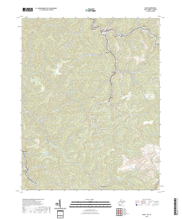
Gary and its surrounding coal-country communities occupy the narrow valleys of the Tug Fork and Sandlick Creek in this contemporary overview of southern McDowell County. The landscape is defined by its industrial settlement pattern, where small residential clusters like Thorpe, Elbert, and Filbert follow the winding drainages of Adkin Branch and Belcher Branch. This topographic study reveals the tight geographical constraints of the region, where roads like Co RD 13/02 and Filbert Rd must cling to the base of steep ridges near Maxwell Gap. To the south, the terrain opens slightly near Newhall and Brewsterdale along the waters of Big Creek. The map provides an essential record of the modern infrastructure and named hollows that continue to shape life in these West Virginia valleys, from Cucumber in the west to the Virginia state line along Tazewell County.
Find a feature on this map
53 named features on this map. Tap any name to fly to it.
Don’t see what you’re looking for? This feature index may not catch every label — zoom into the map to look around manually.
Map Details
Editions of this 2023 Gary Map
This is the sole edition of this map. No revisions or reprints were ever made.