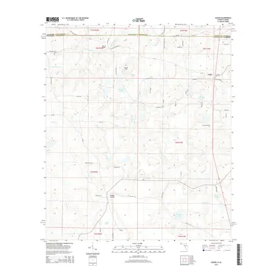
2015 Map of Gaskin
USGS Topo · Published 2015About this map
Caney Creek flows through this rural landscape along the Florida and Alabama border, defining the local topography where Walton, Covington, and Geneva counties meet. The small community of Gaskin sits near the eastern edge of the map, while the name Natural Bridge appears twice — once as a settlement and again as a geographic feature along Natural Bridge Creek. The terrain is characterized by numerous small bodies of water, such as Adams Pond, Manning Pond, and Punch Bowl Pond, suggesting a low-lying area with significant groundwater influence. A network of rural county roads, including Eight Mile Cemetery Rd and Fink Mill Rd, connects scattered residences and small agricultural plots. This map documents a quiet, sparsely populated corner of the Deep South, where traditional family-named landmarks like Danley Hill and Bell Pond still define the local sense of place in the mid-2010s.
Find a feature on this map
66 named features on this map. Tap any name to fly to it.
Don’t see what you’re looking for? This feature index may not catch every label — zoom into the map to look around manually.
Map Details
Editions of this 2015 Gaskin Map
This is the sole edition of this map. No revisions or reprints were ever made.
Other maps of this area
1949 · Glendale
USGS Topo · 1:62,500
1949 · Laurel Hill
USGS Topo · 1:62,500
1950 · Laurel Hill
USGS Topo · 1:62,500
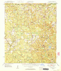
1951 · Glendale
USGS Topo · 1:62,500
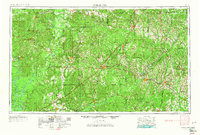
1953 · Andalusia
USGS Topo · 1:250,000
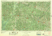
1957 · Andalusia
USGS Topo · 1:250,000
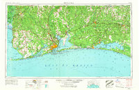
1957 · Pensacola
USGS Topo · 1:250,000
1959 · Pensacola
USGS Topo · 1:250,000
1960 · Pensacola
USGS Topo · 1:250,000
1968 · Samson
USGS Topo · 1:24,000