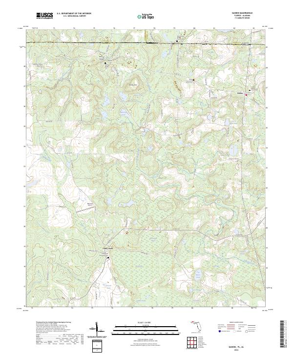
2024 Map of Gaskin
USGS Topo · Published 2024About this map
The borderlands of the Florida Panhandle and southern Alabama meet in this 2024 landscape, centered on the unincorporated community of Gaskin. This region is defined by a dense network of water bodies and wetlands, including the expansive Big Swamp and Big Swamp Annex that feed into Eightmile Creek and Caney Creek. The geography here transitions from elevated points like Danley Hill to low-lying cypress drains, illustrating the complex hydrology of the Gulf Coastal Plain.
Find a feature on this map
81 named features on this map. Tap any name to fly to it.
Don’t see what you’re looking for? This feature index may not catch every label — zoom into the map to look around manually.
Map Details
Editions of this 2024 Gaskin Map
This is the sole edition of this map. No revisions or reprints were ever made.
Other maps of this area

1949 · Glendale
USGS Topo · 1:62,500

1949 · Laurel Hill
USGS Topo · 1:62,500

1950 · Laurel Hill
USGS Topo · 1:62,500

1951 · Glendale
USGS Topo · 1:62,500

1953 · Andalusia
USGS Topo · 1:250,000

1957 · Andalusia
USGS Topo · 1:250,000

1957 · Pensacola
USGS Topo · 1:250,000

1959 · Pensacola
USGS Topo · 1:250,000

1960 · Pensacola
USGS Topo · 1:250,000
1968 · Samson
USGS Topo · 1:24,000