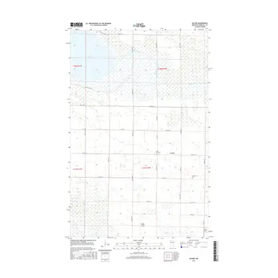
2016 Map of Gatzke
USGS Topo · Published 2016About this map
Gatzke and its surrounding wetlands define this portion of Marshall County, where the landscape is intricately tied to the waters of Thief Lake and the Moose River. The terrain is characterized by a high concentration of marshes and seasonal water bodies, reflected in the winding path of Webster Creek and the grid-like network of rural routes such as Co Hwy 6 and 300th Ave NE.
Find a feature on this map
30 named features on this map. Tap any name to fly to it.
Don’t see what you’re looking for? This feature index may not catch every label — zoom into the map to look around manually.
Map Details
Editions of this 2016 Gatzke Map
This is the sole edition of this map. No revisions or reprints were ever made.
Other maps of this area
1918 · Rollis
USGS Topo · 1:62,500
1918 · Pencer
USGS Topo · 1:62,500
1918 · Garland
USGS Topo · 1:62,500
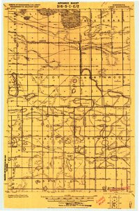
1919 · Liner
USGS Topo · 1:62,500
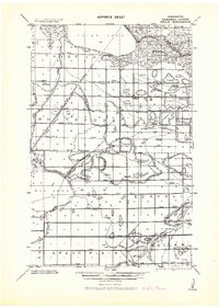
1943 · Rollis
USGS Topo · 1:62,500
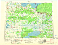
1954 · Roseau
USGS Topo · 1:250,000
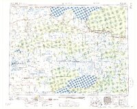
1957 · Roseau
USGS Topo · 1:250,000
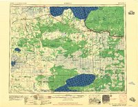
1958 · Roseau
USGS Topo · 1:250,000
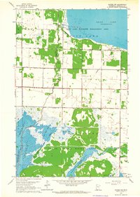
1962 · Gatzke NW
USGS Topo · 1:24,000
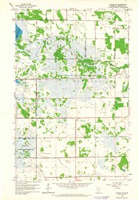
1962 · Gatzke SE
USGS Topo · 1:24,000