
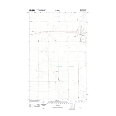
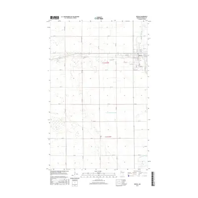
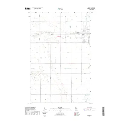
1958 Map of Roseau
USGS Topo · Published 1958About this map
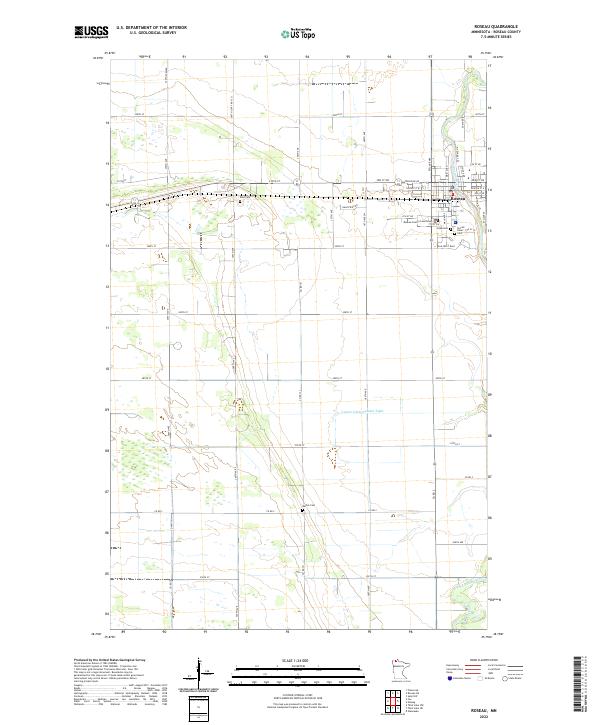
Lake of the Woods and the Rainy River anchor this mid-century look at the international border between Minnesota and Ontario. The landscape is defined by massive water bodies and extensive protected lands, including the Wild Land Reserve and the northern reaches of the Red Lake Indian Reservation surrounding Upper Red Lake. Settlement patterns follow the transportation corridors of the Canadian National and Northern Pacific railroads, which connect hubs like Baudette, Warroad, and Roseau. The presence of the US Custom house near the border at Roseau highlights the region's role in international transit. Between these towns, the map reveals a remote geography of creeks and marshes, such as Muskeg Bay and the Rapid River, where isolated settlements like Waskish and Thorhult subsist in a wilderness environment of points, islands, and lookout towers.
Find a feature on this map
128 named features on this map. Tap any name to fly to it.
Don’t see what you’re looking for? This feature index may not catch every label — zoom into the map to look around manually.
Map Details
Editions of this 1958 Roseau Map
This is the sole edition of this map. No revisions or reprints were ever made.
Historical Maps of Roseau Through Time
11 maps found
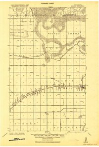
1918 Roseau
Roseau County, MN
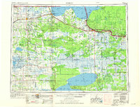
1954 Roseau
Roseau County, MN

1957 Roseau
Roseau County, MN
1958 Roseau
Roseau County, MN
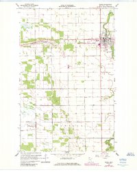
1966 Roseau
Roseau County, MN

1976 Roseau
Roseau County, MN
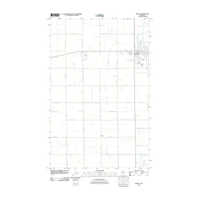
2010 Roseau
Roseau County, MN
2013 Roseau
Roseau County, MN
2016 Roseau
Roseau County, MN
2019 Roseau
Roseau County, MN
2022 Roseau
Roseau County, MN