
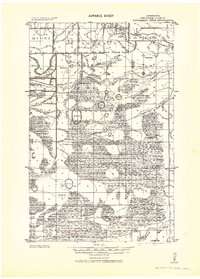
1918 Map of Roosevelt
USGS Topo · Published 1918About this map
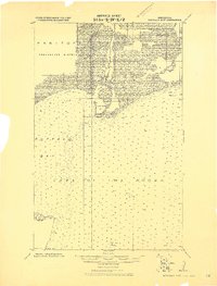
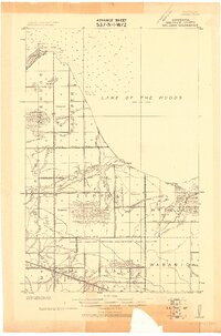
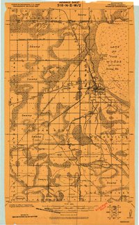
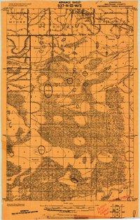
The northern borderlands of Minnesota meet the waters of Lake of the Woods in this 1918 compilation, which captures the region during a period of transition following the drainage surveys of the Ceded Chippewa Lands in 1908. Settlement is concentrated along the Canadian Northern railroad line, where the village of Roosevelt straddles the boundary between Roseau and Beltrami Counties. To the northwest, the settlement of Swift serves as a small rail siding amidst a landscape defined by extensive timber limits and intermittent drainage ditches.
Find a feature on this map
28 named features on this map. Tap any name to fly to it.
Don’t see what you’re looking for? This feature index may not catch every label — zoom into the map to look around manually.
Map Details
Editions of this 1918 Roosevelt Map
This is the sole edition of this map. No revisions or reprints were ever made.
Other maps of this area
1918 · Buffalo Bay
USGS Topo · 1:62,500

1918 · Winterroad
USGS Topo · 1:62,500
1918 · Williams
USGS Topo · 1:62,500
1918 · Warroad
USGS Topo · 1:62,500
1919 · Peppermint Creek
USGS Topo · 1:62,500
1943 · Peppermint Creek
USGS Topo · 1:62,500

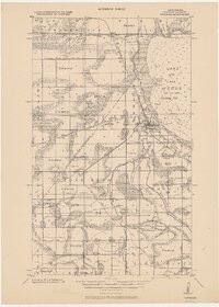
1943 · Roosevelt
USGS Topo · 1:62,500
1943 · Warroad
USGS Topo · 1:62,500

1954 · Roseau
USGS Topo · 1:250,000

1957 · Roseau
USGS Topo · 1:250,000