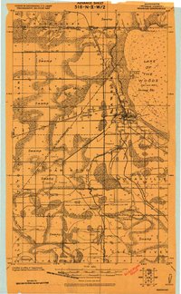
1918 Map of Warroad
USGS Topo · Published 1918About this map
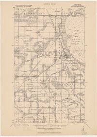
Lake of the Woods dominates the northeastern corner of this 1918 military survey, where the Warroad River meets the bay at the growing settlement of Warroad. The landscape is a complex network of wetlands and civil engineering, characterized by extensive drainage projects like Proposed State Ditch No. 98 and various laterals designed to reclaim the swampy terrain. The presence of the Great Northern and Canadian Northern railroads highlights the town's role as a vital international transit point, connecting northern Minnesota to Manitoba.
Find a feature on this map
34 named features on this map. Tap any name to fly to it.
Don’t see what you’re looking for? This feature index may not catch every label — zoom into the map to look around manually.
Map Details
Editions of this 1918 Warroad Map
This is the sole edition of this map. No revisions or reprints were ever made.
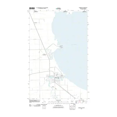
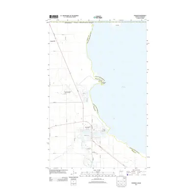
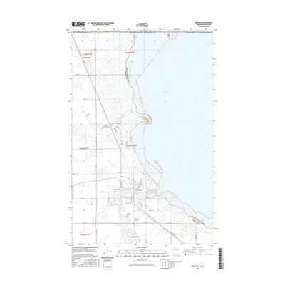
Historical Maps of Warroad Through Time
8 maps found