
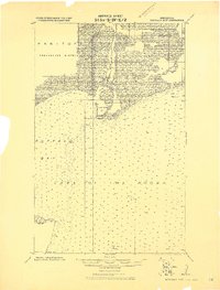
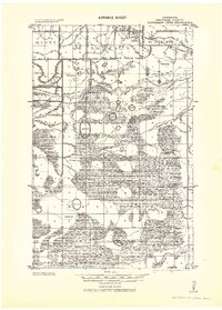
1943 Map of Roosevelt
USGS Topo · Published 1943About this map
The Canadian Northern railroad cuts through the southern reaches of this northern landscape, connecting the small settlements of Roosevelt and Swift. Much of the terrain is defined by its history as timbered land, noted as part of the ceded Chippewa Lands from a 1908 drainage survey. The transition from the dense woods of Laona and Chilgren leads north to the expansive waters of Lake of the Woods, where the depths of Muskeg Bay and landmarks like Rocky Point and Gull Rock dominate the shoreline.
Find a feature on this map
27 named features on this map. Tap any name to fly to it.
Don’t see what you’re looking for? This feature index may not catch every label — zoom into the map to look around manually.
Map Details
Editions of this 1943 Roosevelt Map
This is the sole edition of this map. No revisions or reprints were ever made.
Other maps of this area
1918 · Buffalo Bay
USGS Topo · 1:62,500

1918 · Winterroad
USGS Topo · 1:62,500

1918 · Roosevelt
USGS Topo · 1:62,500
1918 · Williams
USGS Topo · 1:62,500
1918 · Warroad
USGS Topo · 1:62,500
1919 · Peppermint Creek
USGS Topo · 1:62,500
1943 · Peppermint Creek
USGS Topo · 1:62,500
1943 · Warroad
USGS Topo · 1:62,500

1954 · Roseau
USGS Topo · 1:250,000

1957 · Roseau
USGS Topo · 1:250,000