1943 Map of Peppermint Creek
USGS Topo · Published 1943About this map
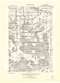
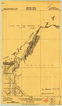
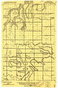
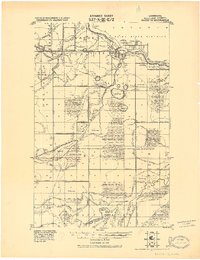
Graceton and its surrounding landscape appear in this 1943 military compilation, which reflects intensive drainage efforts across the Ceded Chippewa Lands. The map documents an extensive network of water management features, including the Main Judicial Ditch No 23 and Judicial Ditch No 17, which were engineered to reclaim wet terrain for timbering and settlement. These man-made channels intersect natural waterways like the Winter Road River and Peppermint Creek, defining the local geography during an era of significant land modification.
Find a feature on this map
24 named features on this map. Tap any name to fly to it.
Don’t see what you’re looking for? This feature index may not catch every label — zoom into the map to look around manually.
Map Details
Editions of this 1943 Peppermint Creek Map
This is the sole edition of this map. No revisions or reprints were ever made.
Other maps of this area

1918 · Winterroad
USGS Topo · 1:62,500

1918 · Roosevelt
USGS Topo · 1:62,500

1918 · F
USGS Topo · 1:62,500
1918 · Williams
USGS Topo · 1:62,500
1919 · Peppermint Creek
USGS Topo · 1:62,500
1919 · G
USGS Topo · 1:62,500
1919 · Canada
USGS Topo · 1:62,500
1919 · Knutson
USGS Topo · 1:62,500
1921 · Baudette
USGS Topo · 1:62,500

1943 · Roosevelt
USGS Topo · 1:62,500