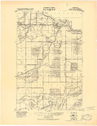
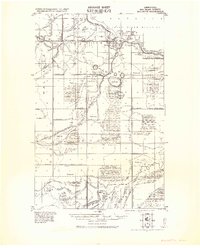
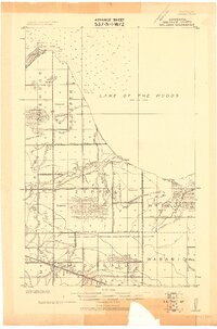
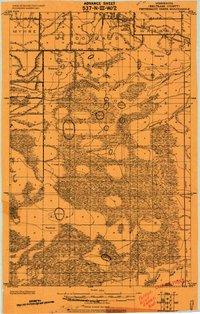
1921 Map of Baudette
USGS Topo · Published 1921About this map
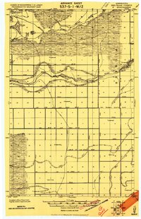
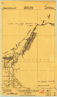
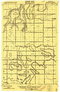
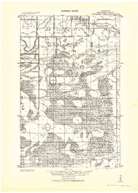
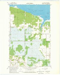
The Rainy River defines the northern edge of this northern Minnesota landscape, marking the International Boundary just as the 1920s began. The twin settlements of Baudette and Spooner serve as the primary hubs of activity, situated where the Baudette River joins the larger border-water. This survey captures a region defined by an extensive drainage infrastructure, shown through a dense network of numbered judicial ditches like Judicial Ditch No. 28 and Judicial Ditch No. 17. These systems were engineered to manage the vast timbered and swamp lands, which were formally delineated in the 1908 survey of Ceded Chippewa Lands. Further south, the map traces the winding paths of the Rapid River and its branches, including the North Branch Rapid River and South Branch Rapid River, alongside early transport routes like the Winter Road and the Canadian Northern railway line.
Find a feature on this map
39 named features on this map. Tap any name to fly to it.
Don’t see what you’re looking for? This feature index may not catch every label — zoom into the map to look around manually.
Map Details
Editions of this 1921 Baudette Map
2 editions found
Other maps of this area
1918 · Williams
USGS Topo · 1:62,500
1919 · Peppermint Creek
USGS Topo · 1:62,500
1919 · G
USGS Topo · 1:62,500
1919 · Canada
USGS Topo · 1:62,500
1919 · Knutson
USGS Topo · 1:62,500
1943 · Peppermint Creek
USGS Topo · 1:62,500

1954 · Roseau
USGS Topo · 1:250,000

1957 · Roseau
USGS Topo · 1:250,000

1958 · Roseau
USGS Topo · 1:250,000
1967 · Williams SE
USGS Topo · 1:24,000