
1919 Map of Canada
USGS Topo · Published 1919About this map
Lake of the Woods and the Rainy River District define this international border landscape at the close of the Great War. Compiled for military use, the map highlights the intricate shoreline and navigational hazards of the Sable Islands and Four Mile Bay, where a Bell Buoy and several L.H. lighthouse markers guided vessel traffic. The survey captures a moment when large-scale drainage projects, such as Jud. Ditch 28 and the Branch 4 Judicial Ditch 28, were actively reshaping the marshy Wheelock township for settlement. Within the interior, a solitary School and various timbered zones indicate the early encroachment of rural development into the northern wilderness. These details provide a look at the infrastructure of the borderlands before the mid-century expansion of modern roadways.
Find a feature on this map
28 named features on this map. Tap any name to fly to it.
Don’t see what you’re looking for? This feature index may not catch every label — zoom into the map to look around manually.
Map Details
Editions of this 1919 Canada Map
This is the sole edition of this map. No revisions or reprints were ever made.
Other maps of this area

1918 · Williams
USGS Topo · 1:62,500

1919 · Peppermint Creek
USGS Topo · 1:62,500

1921 · Baudette
USGS Topo · 1:62,500

1943 · Peppermint Creek
USGS Topo · 1:62,500

1954 · Roseau
USGS Topo · 1:250,000

1957 · Roseau
USGS Topo · 1:250,000

1958 · Roseau
USGS Topo · 1:250,000

1963 · Kenora
USGS Topo · 1:250,000
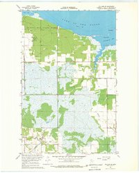
1967 · Williams SE
USGS Topo · 1:24,000
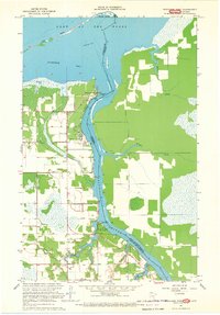
1967 · Wheelers Point
USGS Topo · 1:24,000