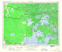
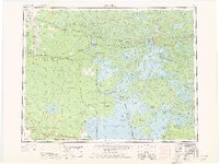
1963 Map of Kenora
USGS Topo · Published 1968About this map
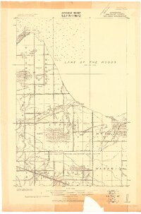
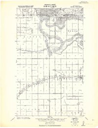
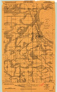
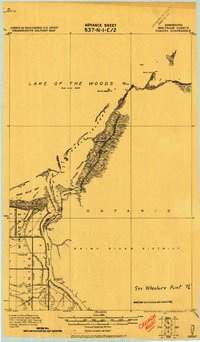
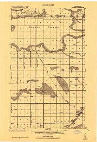
Kenora and Keewatin anchor the rugged northern reach of the Lake of the Woods region in the early 1960s. This survey illustrates the intricate trans-boundary geography where Manitoba, Ontario, and Minnesota converge. The landscape is defined by a dense network of islands and peninsulas, including the Aulneau Peninsula and the remote Northwest Angle State Forest, accessible via the Big Traverse Bay. The transportation infrastructure of the era is remarkably clear, showing the critical east-west corridors of the Canadian Pacific Railway and Canadian National Railway alongside the specialized Greater Winnipeg Water District Railway. Small settlements and post offices such as Elma and Reynolds dot the western transit lines, while the Whiteshell Provincial Park and Falcon Beach highlight the region's mid-century development as a premier northern wilderness destination.
Find a feature on this map
161 named features on this map. Tap any name to fly to it.
Don’t see what you’re looking for? This feature index may not catch every label — zoom into the map to look around manually.
Map Details
Editions of this 1963 Kenora Map
2 editions found
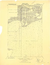
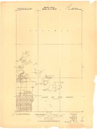
Other maps of this area

1918 · Goos
USGS Topo · 1:62,500
1918 · Buffalo Bay
USGS Topo · 1:62,500

1918 · Roosevelt
USGS Topo · 1:62,500
1918 · Oak Island
USGS Topo · 1:62,500
1918 · Williams
USGS Topo · 1:62,500
1918 · Roseau
USGS Topo · 1:62,500
1918 · Warroad
USGS Topo · 1:62,500
1919 · Canada
USGS Topo · 1:62,500
1919 · Badger
USGS Topo · 1:62,500

1943 · Roosevelt
USGS Topo · 1:62,500