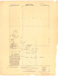
1918 Map of Oak Island
USGS Topo · Published 1918About this map
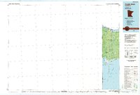
Oak Island Fishery stands as a primary point of human activity in this remote northern reach of Lake of the Woods, where the international border separates the Dominion of Canada and the United States. Compiled at the end of the Great War, this survey documents the intricate archipelago and marshy shoreline of the Northwest Angle. Notable landforms include Magnusons Island and Buckete Island to the north, while Sugar Point and Pickerel Creek define the mainland's edge. The map reflects a period before extensive modern development, focusing on navigation and boundary lines between Ontario and Minnesota. Small islands like Passage Island and Flag Island dot the waterway, marking the natural transit routes used by early 20th-century fishers and travelers along the border.
Find a feature on this map
12 named features on this map. Tap any name to fly to it.
Don’t see what you’re looking for? This feature index may not catch every label — zoom into the map to look around manually.
Map Details
Editions of this 1918 Oak Island Map
This is the sole edition of this map. No revisions or reprints were ever made.
Other maps of this area

1918 · Buffalo Bay
USGS Topo · 1:62,500

1963 · Kenora
USGS Topo · 1:250,000
1967 · Flag Island
USGS Topo · 1:24,000
1967 · Garden Island West
USGS Topo · 1:24,000
1967 · Buffalo Bay NE
USGS Topo · 1:24,000
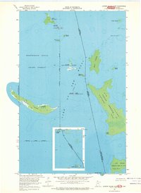
1967 · Garden Island East
USGS Topo · 1:24,000
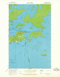
1967 · Oak Island
USGS Topo · 1:24,000
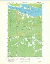
1967 · Angle Inlet
USGS Topo · 1:24,000
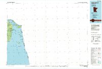
1985 · Oak Island
USGS Topo · 1:100,000
1985 · Angle Inlet
USGS Topo · 1:100,000