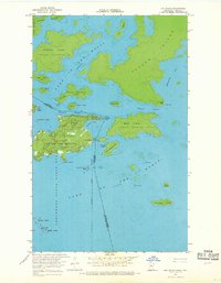
1967 Map of Oak Island
USGS Topo · Published 1969About this map
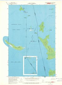
The complex international boundary at Lake of the Woods defines this late 1960s survey of the Northwest Angle State Forest. The map documents a unique borderland where the United States-Canada line weaves through the Sturgeon Channel, marked by official outposts at U.S. Customs and Canadian Customs. Significant portions of the archipelago are designated as indigenous lands, including the Red Lake Indian Reservation on Oak Island and multiple Canadian holdings like Indian Reserve 31 C on Birch Island. The geography reveals a dense network of named landmarks such as Massacre Island, Dawson Island, and Soldiers Point, which served as vital navigational waypoints for local watercraft and residents navigating the intricate waterways of the Kenora District and Minnesota's most northern reaches.
Find a feature on this map
43 named features on this map. Tap any name to fly to it.
Don’t see what you’re looking for? This feature index may not catch every label — zoom into the map to look around manually.
Map Details
Editions of this 1967 Oak Island Map
This is the sole edition of this map. No revisions or reprints were ever made.
Other maps of this area
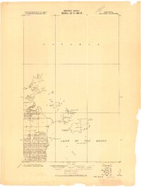
1918 · Oak Island
USGS Topo · 1:62,500

1963 · Kenora
USGS Topo · 1:250,000
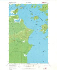
1967 · Flag Island
USGS Topo · 1:24,000
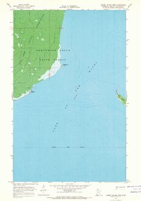
1967 · Garden Island West
USGS Topo · 1:24,000
1967 · Garden Island East
USGS Topo · 1:24,000
1985 · Oak Island
USGS Topo · 1:100,000
2010 · Garden Island West
USGS Topo · 1:24,000
2010 · Garden Island East
USGS Topo · 1:24,000
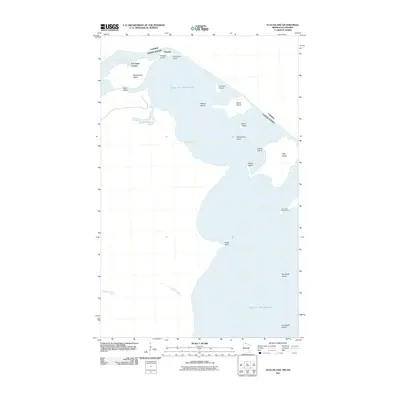
2011 · Flag Island
USGS Topo · 1:24,000
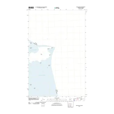
2011 · Oak Island
USGS Topo · 1:24,000