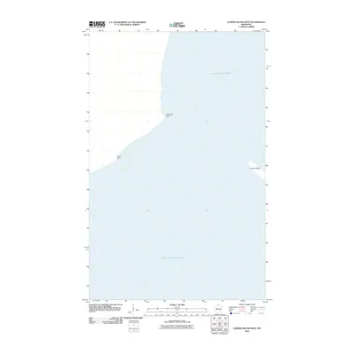
2010 Map of Garden Island West
USGS Topo · Published 2010About this map
Lake of the Woods dominates this aquatic landscape in northernmost Minnesota, illustrating the intricate shoreline and isolated landmasses along the international border. This 2010 survey focuses on the remote island and peninsula features that define the western reaches of the Garden Island area. Notable landforms include the narrow protrusions of Driftwood Point and Rooty Point, which extend into the massive lake basin. The map provides a detailed look at the water-to-land interface, emphasizing the navigational hazards and geological formations of this border region. These specific points and islands serve as critical landmarks for boaters and researchers studying the shifting hydrology and shoreline morphology of this expansive freshwater sea.
Find a feature on this map
4 named features on this map. Tap any name to fly to it.
Don’t see what you’re looking for? This feature index may not catch every label — zoom into the map to look around manually.
Map Details
Editions of this 2010 Garden Island West Map
This is the sole edition of this map. No revisions or reprints were ever made.
Other maps of this area
1918 · Buffalo Bay
USGS Topo · 1:62,500
1918 · Oak Island
USGS Topo · 1:62,500
1963 · Kenora
USGS Topo · 1:250,000
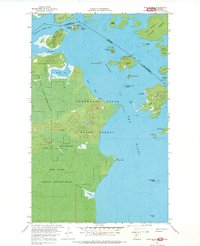
1967 · Flag Island
USGS Topo · 1:24,000
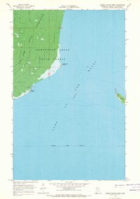
1967 · Garden Island West
USGS Topo · 1:24,000
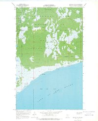
1967 · Buffalo Bay NE
USGS Topo · 1:24,000
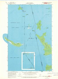
1967 · Garden Island East
USGS Topo · 1:24,000
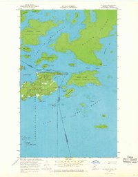
1967 · Oak Island
USGS Topo · 1:24,000
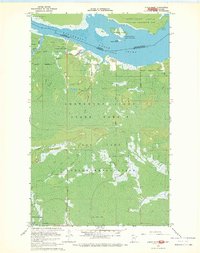
1967 · Angle Inlet
USGS Topo · 1:24,000
1985 · Oak Island
USGS Topo · 1:100,000