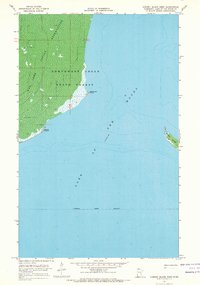
1967 Map of Garden Island West
USGS Topo · Published 1969About this map
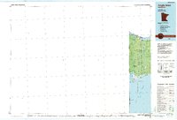
The Red Lake Indian Reservation and the Northwest Angle State Forest dominate the shoreline of the Northwest Angle in this 1967 survey. This particular quadrant captures the intersection of land and water at the northernmost point of the contiguous United States, where the marshy interior gives way to the open expanse of Lake of the Woods. The map illustrates a remote, water-defined landscape, marked by specific shoreline features such as Driftwood Point and Rooty Point. To the east, the isolated landmass of Garden Island sits within the lake, while the interior is characterized by a high concentration of wetlands including Red Lake. This document provides a record of the Indefinite Forest Boundary and the hydrographic depths compiled from the U.S. Lake Survey of 1965.
Find a feature on this map
9 named features on this map. Tap any name to fly to it.
Don’t see what you’re looking for? This feature index may not catch every label — zoom into the map to look around manually.
Map Details
Editions of this 1967 Garden Island West Map
This is the sole edition of this map. No revisions or reprints were ever made.
Other maps of this area

1918 · Buffalo Bay
USGS Topo · 1:62,500
1918 · Oak Island
USGS Topo · 1:62,500

1963 · Kenora
USGS Topo · 1:250,000
1967 · Flag Island
USGS Topo · 1:24,000
1967 · Buffalo Bay NE
USGS Topo · 1:24,000
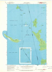
1967 · Garden Island East
USGS Topo · 1:24,000
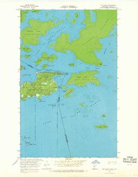
1967 · Oak Island
USGS Topo · 1:24,000
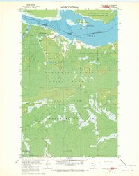
1967 · Angle Inlet
USGS Topo · 1:24,000
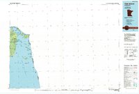
1985 · Oak Island
USGS Topo · 1:100,000
1985 · Angle Inlet
USGS Topo · 1:100,000