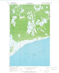
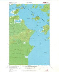
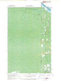
1967 Map of Buffalo Bay NE
USGS Topo · Published 1969About this map
The Red Lake Indian Reservation and the Northwest Angle State Forest dominate this 1960s landscape at the northernmost reaches of Minnesota. The map reveals a remote, water-bound wilderness defined by complex wetland systems and the expansive waters of Lake of the Woods. Human presence is sparse, centered on the Boise Cascade Camp and a solitary Lookout Tower positioned for fire watch over the vast timberlands.
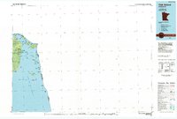
Find a feature on this map
15 named features on this map. Tap any name to fly to it.
Don’t see what you’re looking for? This feature index may not catch every label — zoom into the map to look around manually.
Map Details
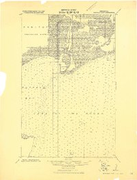
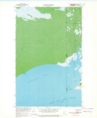
Editions of this 1967 Buffalo Bay NE Map
This is the sole edition of this map. No revisions or reprints were ever made.
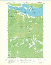
Other maps of this area
1918 · Buffalo Bay
USGS Topo · 1:62,500
1918 · Oak Island
USGS Topo · 1:62,500
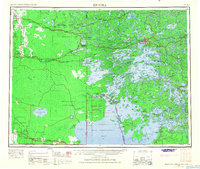
1963 · Kenora
USGS Topo · 1:250,000
1967 · Flag Island
USGS Topo · 1:24,000
1967 · Buffalo Bay NW
USGS Topo · 1:24,000
1967 · Garden Island West
USGS Topo · 1:24,000
1967 · Angle Inlet
USGS Topo · 1:24,000
1967 · Angle Inlet SW
USGS Topo · 1:24,000
1985 · Oak Island
USGS Topo · 1:100,000
1985 · Angle Inlet
USGS Topo · 1:100,000