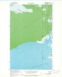
1967 Map of Buffalo Bay NW
USGS Topo · Published 1969About this map
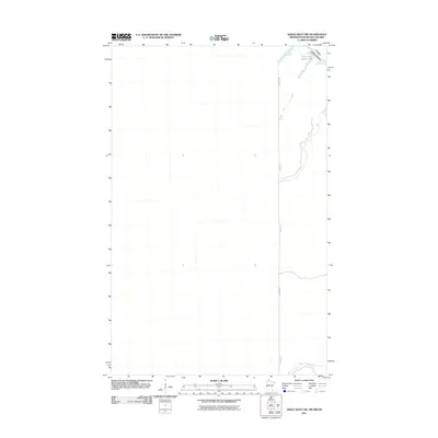
Northwest Angle State Forest and the Red Lake Indian Reservation dominate this landscape on the international border during the late 1960s. Located at the northernmost reach of the United States, the terrain is characterized by a network of seasonal routes, including a Winter Road and Winter Trail, reflecting the specialized transit required in this watery environment. The map captures the intricate shoreline where Buffalo Bay meets Lake of the Woods, punctuated by landmarks such as Birch Point and Stony Point.
Find a feature on this map
14 named features on this map. Tap any name to fly to it.
Don’t see what you’re looking for? This feature index may not catch every label — zoom into the map to look around manually.
Map Details
Editions of this 1967 Buffalo Bay NW Map
This is the sole edition of this map. No revisions or reprints were ever made.
Other maps of this area

1918 · Buffalo Bay
USGS Topo · 1:62,500

1963 · Kenora
USGS Topo · 1:250,000
1967 · Buffalo Bay NE
USGS Topo · 1:24,000
1967 · Angle Inlet
USGS Topo · 1:24,000
1967 · Angle Inlet SW
USGS Topo · 1:24,000
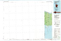
1985 · Angle Inlet
USGS Topo · 1:100,000
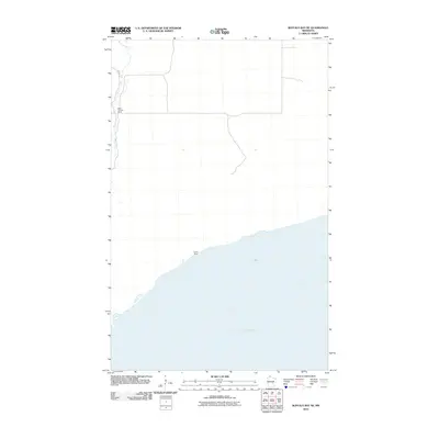
2010 · Buffalo Bay NE
USGS Topo · 1:24,000
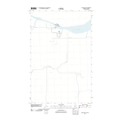
2010 · Angle Inlet
USGS Topo · 1:24,000
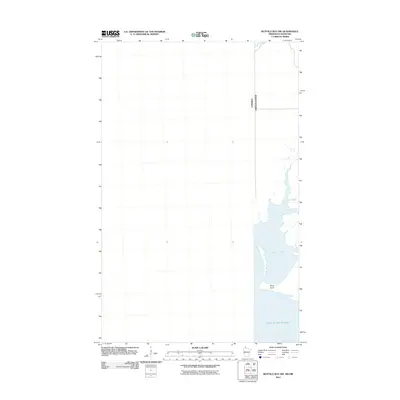
2011 · Buffalo Bay NW
USGS Topo · 1:24,000
2011 · Angle Inlet SW
USGS Topo · 1:24,000