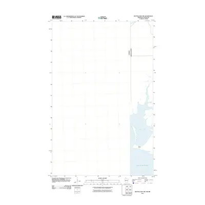
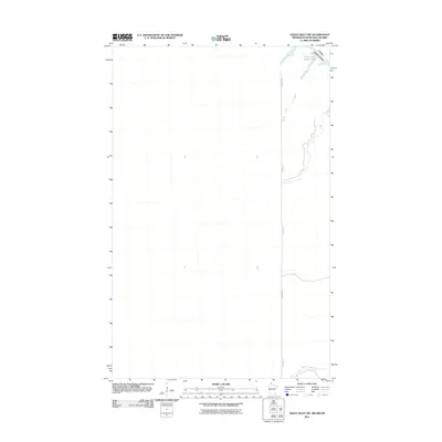
2011 Map of Buffalo Bay NW
USGS Topo · Published 2011About this map
Lake of the Woods dominates the eastern edge of this northern border survey, where the international boundary between Canada and the United States cuts through the water and wetlands of Manitoba and Minnesota. The landscape is defined by the hydrologic relationship between Stony Creek and the sheltered waters of Sand Point Bay. This coastal environment features Stony Point as a prominent landmark along the northwestern shore of the lake. This specific edition focuses on the aquatic and shoreline features of the Buffalo Bay area, providing a record of the shoreline configuration and the precise location of the international border line as it stood in the early 21st century.
Find a feature on this map
5 named features on this map. Tap any name to fly to it.
Don’t see what you’re looking for? This feature index may not catch every label — zoom into the map to look around manually.
Map Details
Editions of this 2011 Buffalo Bay NW Map
This is the sole edition of this map. No revisions or reprints were ever made.
Other maps of this area

1918 · Buffalo Bay
USGS Topo · 1:62,500

1963 · Kenora
USGS Topo · 1:250,000
1967 · Buffalo Bay NW
USGS Topo · 1:24,000
1967 · Buffalo Bay NE
USGS Topo · 1:24,000
1967 · Angle Inlet
USGS Topo · 1:24,000
1967 · Angle Inlet SW
USGS Topo · 1:24,000
1985 · Angle Inlet
USGS Topo · 1:100,000
2010 · Buffalo Bay NE
USGS Topo · 1:24,000
2010 · Angle Inlet
USGS Topo · 1:24,000
2011 · Angle Inlet SW
USGS Topo · 1:24,000