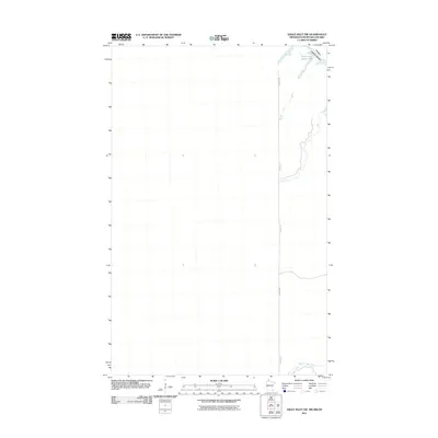
2011 Map of Angle Inlet SW
USGS Topo · Published 2011About this map
The international border between the United States and Canada cuts across this 2011 survey of a remote northern landscape. The map is defined by the waters of the Northwest Angle Inlet and the narrow corridors of Bear Creek and Stony Creek. Human presence is sparse, dominated by a single north-south terrestrial link identified simply as Winter Rd. This seasonal path provides a rare look at the rudimentary transportation network required to navigate the low-lying, water-dense terrain of the Northwest Angle. The lack of permanent structures or developed towns emphasizes the isolated character of this corner of North America, where the landscape is shaped primarily by hydrography and the geopolitical boundary line.
Find a feature on this map
5 named features on this map. Tap any name to fly to it.
Don’t see what you’re looking for? This feature index may not catch every label — zoom into the map to look around manually.
Map Details
Editions of this 2011 Angle Inlet SW Map
This is the sole edition of this map. No revisions or reprints were ever made.
Other maps of this area
1918 · Buffalo Bay
USGS Topo · 1:62,500
1963 · Kenora
USGS Topo · 1:250,000
1967 · Buffalo Bay NW
USGS Topo · 1:24,000
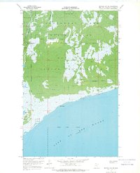
1967 · Buffalo Bay NE
USGS Topo · 1:24,000
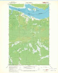
1967 · Angle Inlet
USGS Topo · 1:24,000
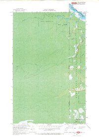
1967 · Angle Inlet SW
USGS Topo · 1:24,000
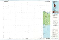
1985 · Angle Inlet
USGS Topo · 1:100,000
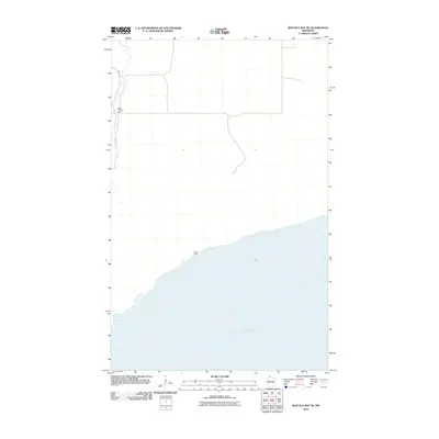
2010 · Buffalo Bay NE
USGS Topo · 1:24,000
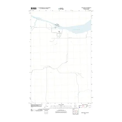
2010 · Angle Inlet
USGS Topo · 1:24,000
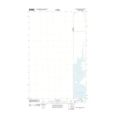
2011 · Buffalo Bay NW
USGS Topo · 1:24,000