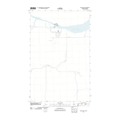
2010 Map of Angle Inlet
USGS Topo · Published 2010About this map
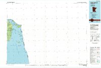
The northernmost point of the contiguous United States is defined by the international border between Canada and the United States shown here along the waters of the Northwest Angle Inlet. The remote settlement of Angle Inlet serves as the focal point for this isolated exclave, where the Angle Inlet Post Office and Northwest Angle Airport provide essential links to the rest of Minnesota.
Find a feature on this map
15 named features on this map. Tap any name to fly to it.
Don’t see what you’re looking for? This feature index may not catch every label — zoom into the map to look around manually.
Map Details
Editions of this 2010 Angle Inlet Map
This is the sole edition of this map. No revisions or reprints were ever made.
Other maps of this area

1918 · Buffalo Bay
USGS Topo · 1:62,500
1918 · Oak Island
USGS Topo · 1:62,500

1963 · Kenora
USGS Topo · 1:250,000
1967 · Flag Island
USGS Topo · 1:24,000
1967 · Buffalo Bay NW
USGS Topo · 1:24,000
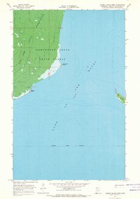
1967 · Garden Island West
USGS Topo · 1:24,000
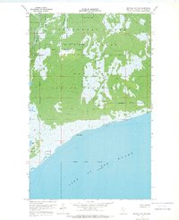
1967 · Buffalo Bay NE
USGS Topo · 1:24,000
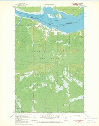
1967 · Angle Inlet
USGS Topo · 1:24,000
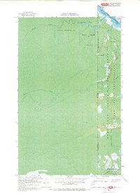
1967 · Angle Inlet SW
USGS Topo · 1:24,000
1985 · Oak Island
USGS Topo · 1:100,000