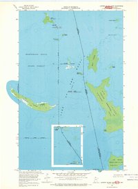
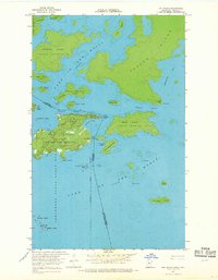
1967 Map of Garden Island East
USGS Topo · Published 1969About this map
Lake of the Woods defines the watery landscape of this 1967 survey, where the international boundary between the United States and Canada weaves through a complex archipelago. The map centers on the Red Lake Indian Res lands found on Garden Island and smaller outcrops like Hay Island. To the east, the substantial landmass of Big Island Indian Reserve 37 Northwest Point dominates the Ontario side of the line. The remote character of the Northwest Angle State Forest is evident here, as many islands like Little Oak Island, Bear Island, and Norman Island appear entirely without road access. Significant hydrographic depth curves and soundings provided by the U.S. Lake Survey reflect the maritime importance of these passages, while landmarks such as Little Massacre Island and Sugar Point provide essential navigation points and historical markers for this border region.
Find a feature on this map
26 named features on this map. Tap any name to fly to it.
Don’t see what you’re looking for? This feature index may not catch every label — zoom into the map to look around manually.
Map Details
Editions of this 1967 Garden Island East Map
This is the sole edition of this map. No revisions or reprints were ever made.
Other maps of this area
1918 · Oak Island
USGS Topo · 1:62,500

1963 · Kenora
USGS Topo · 1:250,000
1967 · Flag Island
USGS Topo · 1:24,000
1967 · Garden Island West
USGS Topo · 1:24,000
1967 · Oak Island
USGS Topo · 1:24,000
1985 · Oak Island
USGS Topo · 1:100,000
2010 · Garden Island West
USGS Topo · 1:24,000
2010 · Garden Island East
USGS Topo · 1:24,000
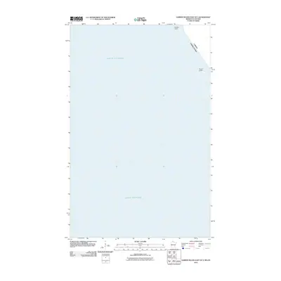
2010 · Garden Island East OE S
USGS Topo · 1:24,000
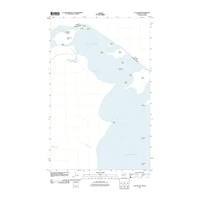
2011 · Flag Island
USGS Topo · 1:24,000